Searching for Groundwater in Western Tanzania
Well siting in Tanzania
The HydroGeophysics Group, at Aarhus University carried out well siting campaign western Tanzania, where a two day tTEM survey in the village Makere ended up with recommendation of two sites well locations. The first target was a location with a potential for a thick unconfined aquifer to be present, while the second target was a confined aquifer system at greater depth, present in boreholes from nearby villages. The tTEM survey confirmed the extension of the system.
Project Background
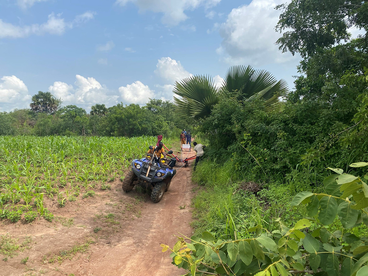
In October 2019, a tTEM mapping campaign was carried out in western Tanzania. The mapping campaign was conducted in cooperation between the HydroGeophysics Group, Aarhus University, Denmark, the Poul Due Jensen Foundation and Water Mission Tanzania. The aim of the mapping was to map the dominant hydrogeological units in the area, and to pick drill sites for wells. The tTEM instrument is a time domain electromagnetic system designed for hydrogeophysical and environmental investigations. The tTEM system measures continuously while towed on the ground surface. It is designed for a very high near-surface resolution with very early time gates and a fast repetition frequency.
The advantage of the tTEM system is that compared to stationary soundings with limited spatial information, the output from a tTEM survey is continuous profiles, and therefore good resolution of potential structures is achieved, significantly improving the information and minimizing the risk of drilling dry wells.
Results
A total of 12 line km’s were surveyed over a two-day period. From the survey results, two borehole sites were chosen. The first location was southwest of Makere, where a thick unconfined system was likely present. The water table in this region is within a few meters below the ground surface, and several natural surface water bodies are present. Shallow water table observations combined with the presence of a thick (>45 m) upper resistive layer, suggests that a thick unconfined aquifer is present in this area.
Several boreholes within Makere are likely already producing from this unconfined system. A well drilled to the bottom of this layer (>45 m) is highly likely to intercept an unconfined aquifer system. The second recommendation, denoted as site 2, is located near the river to the north of Makere. Because of geological similarities and close proximity to a nearby site, Nyarugusu, it was deemed likely that the a well drilled to a similar depth as the boreholes in the Nyarugusu area (>100 m) would intercept the same or similar confined aquifer system, that is currently being exploited in Nyarugusu.
Benefits of the survey
Based on the recommendations from the tTEM survey, drill site 2 was successfully drilled, and a well was established. The well produces 120 m3/hr and provides much needed water for the host community and nearby refugee camp. The geological model proved to be similar to the neighboring site in Nyarugusu with an aquifer confined by a saprolitic layer. In this site, the resistivity models achieved by the tTEM instrument was crucial in siting the right location for new drill site. The tTEM system has been demonstrated to be a robust tool for rapid and cost-efficient mapping in data-poor regions.
Several boreholes within Makere are likely already producing from this unconfined system. A well drilled to the bottom of this layer (>45 m) is highly likely to intercept an unconfined aquifer system. The second recommendation, denoted as site 2, is located near the river to the north of Makere. Because of geological similarities and close proximity to a nearby site, Nyarugusu, it was deemed likely that the a well drilled to a similar depth as the boreholes in the Nyarugusu area (>100 m) would intercept the same or similar confined aquifer system, that is currently being exploited in Nyarugusu.