Early Warning System (EWS) and Civil Protection Solutions for Flash floods and Storms
Heavy Rains / Flooding, Storms, Lightning, Earthquakes
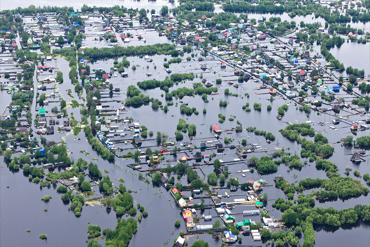
Real-Time monitoring of water levels in flood-prone areas


The EarlyWarning System has been designed to address one of the most frequent emergency situations across a wide variety of environments: urban and rural areas, infrastructures (roadways, railway lines), industrial plants, agricultural and livestock farms, among others.
These locations, due to the terrain's orography and their proximity to river channels, have a high risk of suffering floods caused by sudden and intense rainfall. This risk is further compounded by the negative effects of climate change.
A typical scenario for this type of emergency occurs in cities traversed by rivers whose flow originates from the confluence of streams and channels located upstream in mountainous areas. These structures constitute small hydrographic basins that act as a funnel, concentrating and channeling the precipitation produced across the entire catchment area toward the main city channel.
It must be emphasized that the EarlyWarning System is designed specifically for each particular flood-prone zone or region. Unlike classic meteorological forecasts from national or regional weather offices, whose coverage is broad and often lacks the necessary focus.
Our EarlyWarning System operates as follows:
Data (levels and flows) and Alerts are generated and transmitted to the Central Station immediately in real time from the remote measuring stations themselves, which are installed and distributed throughout the corresponding river basin. This provides Civil Protection Authorities with a real-time picture of the situation and the level of risk in the area of interest before flooding occurs. The dissemination of information to the public and the corresponding decisions are always the responsibility of the competent authorities.
Key Functions of the EarlyWarning System
The EarlyWarning System for heavy rainfall and flood alerts supports the following main functions:
- Continuous Measurement: Continuous measurement of precipitation in the basin, as well as the level of the rivers and channels that flow toward the urban center, along with other environmental parameters. This is achieved by installing a network of remote Hydro-Meteorological Stations covering the zone of interest.
- Data Logging and Thresholds: Logging of all data in the remote measuring stations and defining alert thresholds. This definition is based on the evaluation of the intensity and persistence trend of the precipitation, in addition to the level of the rivers and other channels.
- Emergency Transmission: Automatic and real-time transmission of data and alerts to the Central Emergency Station, which is managed by local and Civil Protection authorities.