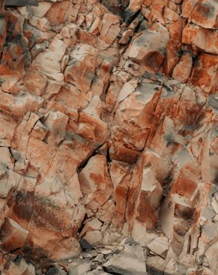
Weathered Bedrock
Understanding weathered bedrock
- Enhanced porosity: Weathering leads to fracturing, mineral dissolution, and the breakdown of the rock matrix, increasing porosity and enabling the storage and movement of groundwater.
- Variable composition: The characteristics of weathered bedrock depend on the parent rock type and the extent of weathering. These factors influence permeability, groundwater retention, and flow patterns.
- Groundwater significance: In hard rock terrains, weathered bedrock often serves as a primary zone for groundwater storage. Fractures and voids within this layer can hold significant amounts of water, making it a prime target for well siting and extraction efforts.
- Identify water-bearing zones within weathered layers.
- Map fracture networks and assess their connectivity.
- Support sustainable groundwater extraction by pinpointing productive areas.
TEM's role in studying weathered bedrock
Learn how our instruments enhance the analysis and mapping of weathered bedrock formations
Shallow Subsurface Mapping
tTEM is ideal for identifying weathered zones at shallow depths. It can detect changes in resistivity caused by weathered bedrock, which often has lower resistivity than fresh rock. This allows for quick and efficient mapping of weathered bedrock areas.
Large Coverage Area
One of the key strengths of tTEM is its ability to cover large areas rapidly. When exploring potential raw material deposits over expansive areas, tTEM can provide initial insights into the distribution and extent of materials, helping to narrow down areas for more detailed exploration or drilling. This is particularly useful for assessing aggregate deposits or shallow mineral reserves.
Geotechnical Investigations
tTEM can aid in determining the stability of weathered bedrock areas for construction or excavation, identifying weak zones that could impact foundation design or mining operations.
High Resolution Mapping
sTEM provides higher resolution data, allowing for a more detailed study of weathered bedrock and its properties. It can help identify small variations in weathering patterns that may be critical for resource exploration or geotechnical studies.
Deeper Exploration
While tTEM is excellent for shallow exploration, sTEM can also be used to investigate deeper weathered bedrock zones, providing a clear understanding of the extent of weathering and its impact on the underlying rock layers.
Deep Subsurface Profiling
sTEM’s ability to detect subtle resistivity contrasts makes it useful for identifying weathered zones that are interlayered with other materials, such as clay or sand, which can influence excavation or mining strategies.
Targeted Exploration for Specific Raw Materials
sTEM is highly suited for identifying specific mineralization patterns and depth variations within a localized area, enabling exploration teams to focus their efforts on the most promising zones. For example, it can help identify areas where gold or silver veins intersect with other geological features like faults, which could indicate valuable mineralization.