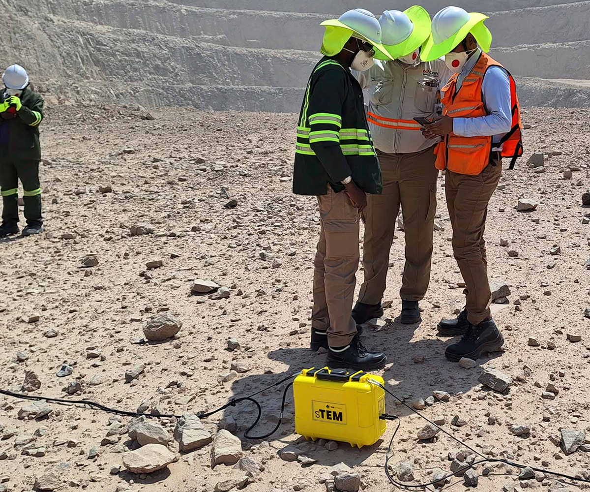
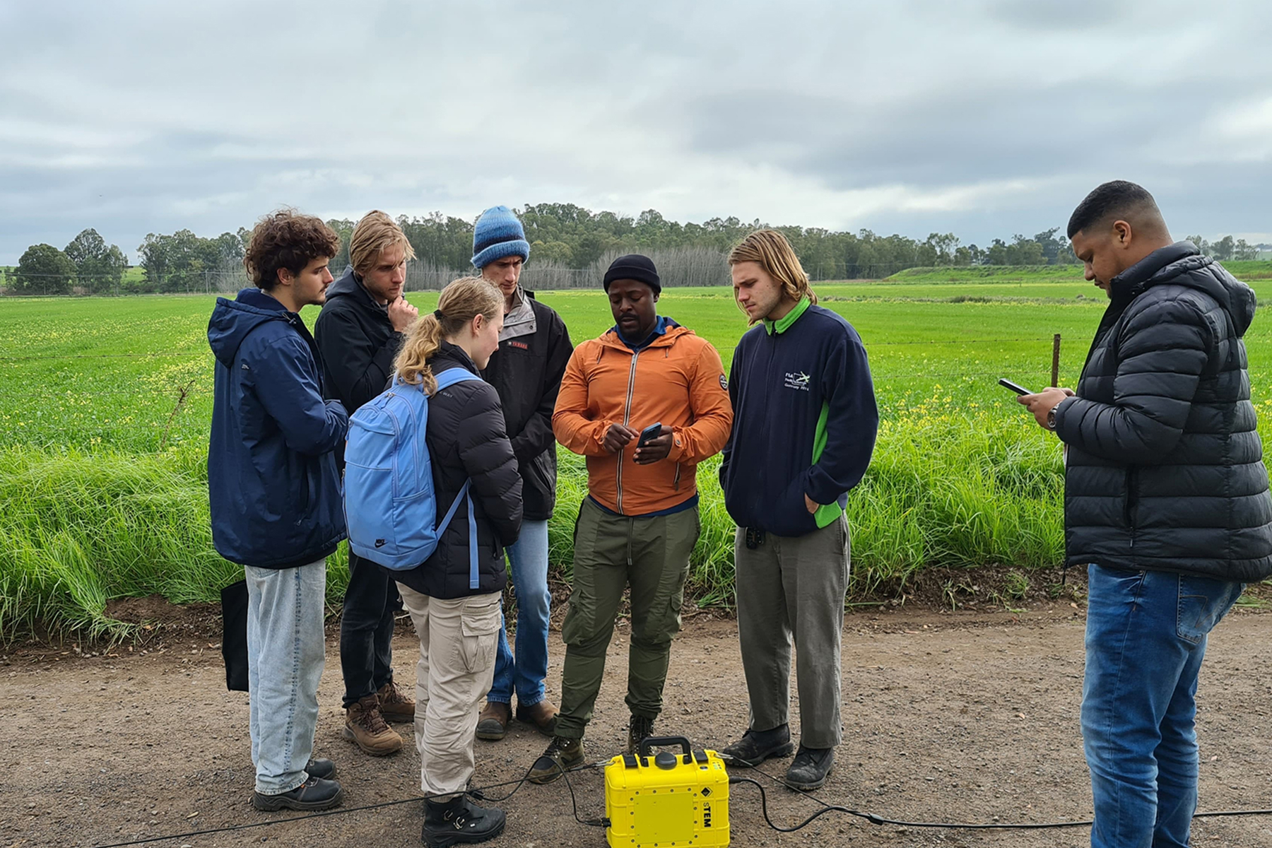
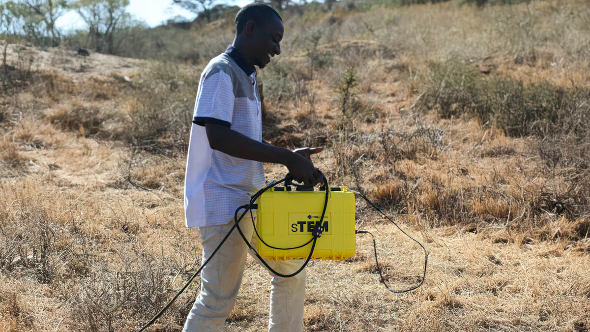
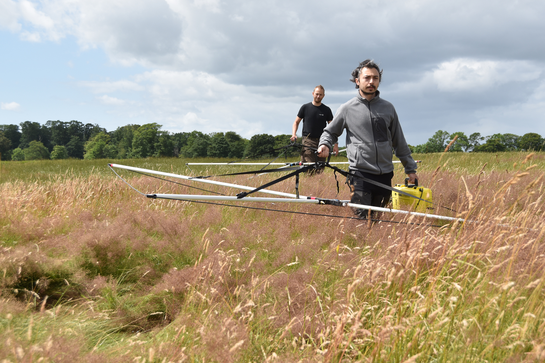
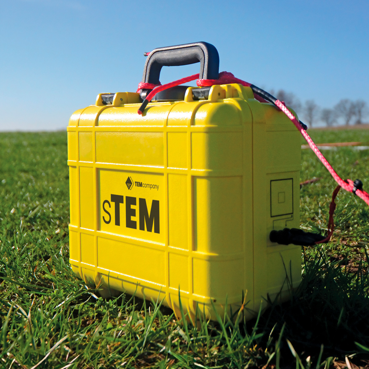
The sTEM family
sTEM5
The sTEM5 delivers accurate data to depths of 150 m – 200 m.
Conducting single-site measurements, capturing data that reaches depths up to 200 m (656 ft). Our most affordable entry level sTEM geoscanner is operated via an Android or iOS app.
Configuration options
| Transmitter coil size – 20 m x 20 m | |
| Transmitter coil size – 40 m x 40 m | |
| Configuration not available | |
| Configuration not available | |
| sTEM Profiler – 3 m x 3 m | |
| sTEM Profiler – 3 m x 3 m |
sTEM10
The sTEM10 delivers accurate data to depths of 200 m – 500 m.
Conducting single-site measurements, capturing data reaching depths between 200 m (656 ft) and 500 m (1650 ft). The sTEM10 geoscanner is operated via an Android or iOS app.
Configuration options
| Transmitter coil size – 20 m x 20 m | |
| Transmitter coil size – 40 m x 40 m | |
| Transmitter coil size – 80 m x 80 m | |
| sTEM Profiler compact – 1.65 m x 1.65 m | |
| sTEM Profiler – 3 m x 3 m | |
| sTEM Profiler – 3 m x 3 m |
sTEM20
The powerful sTEM20 delivers accurate data to depths of 200 m – 600 m.
Conducting single-site measurements, capturing data that can reach depths beyond 500 m (1650 ft). Powerful and accurate, the sTEM20 geoscanner is operated via an Android or iOS app.
Configuration options
| Transmitter coil size – 20 m x 20 m | |
| Transmitter coil size – 40 m x 40 m | |
| Transmitter coil size – 80 m x 80 m | |
| sTEM Profiler compact – 1.65 m x 1.65 m | |
| sTEM Profiler – 3 m x 3 m | |
| sTEM Profiler – 3 m x 3 m |
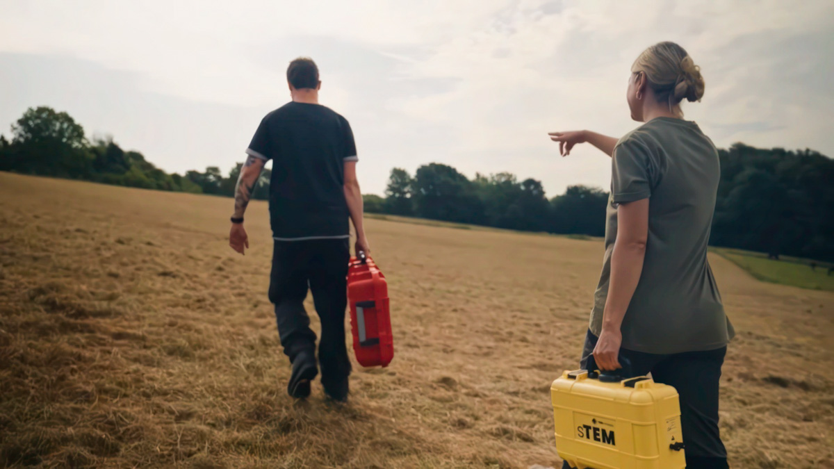
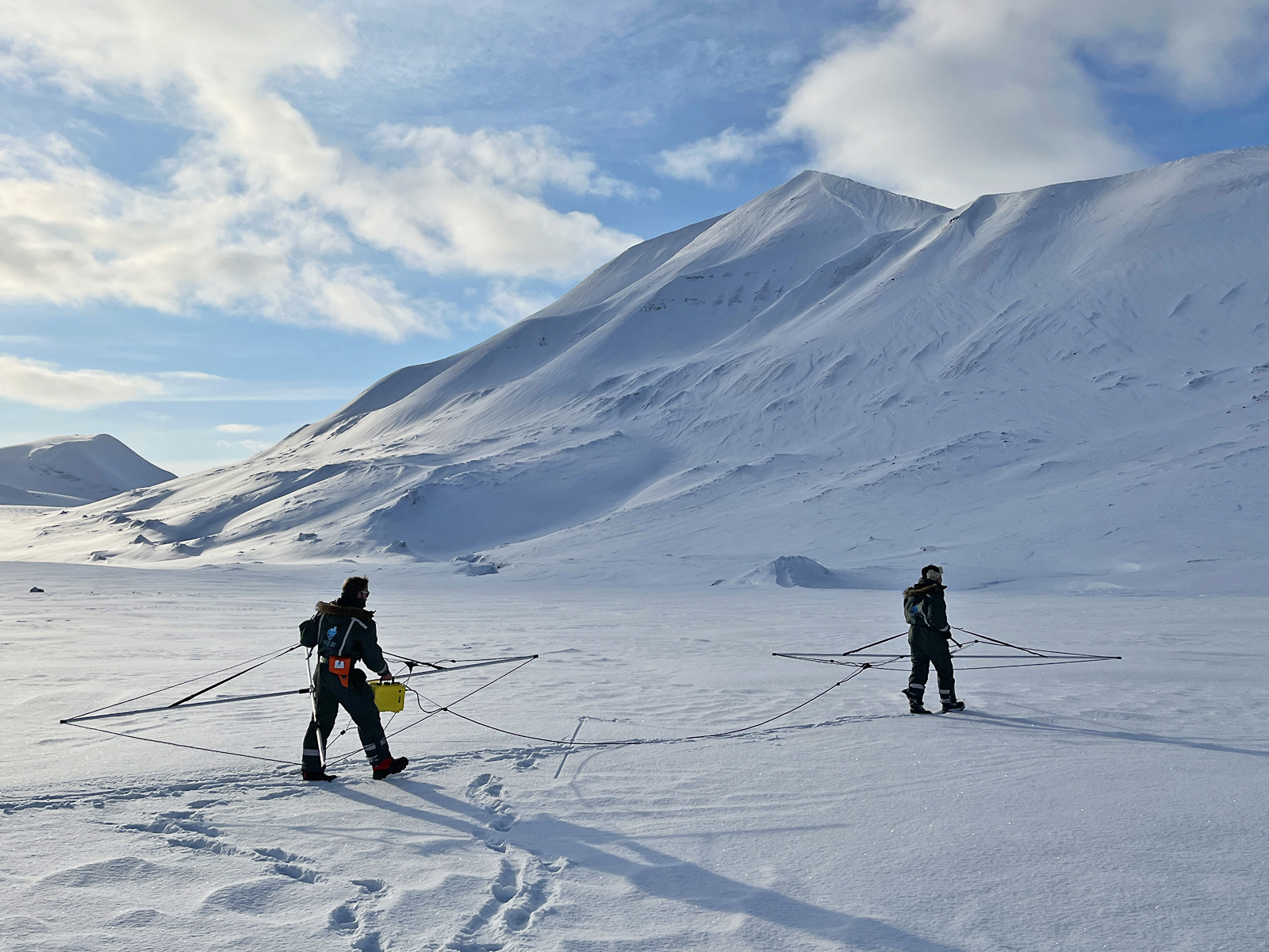
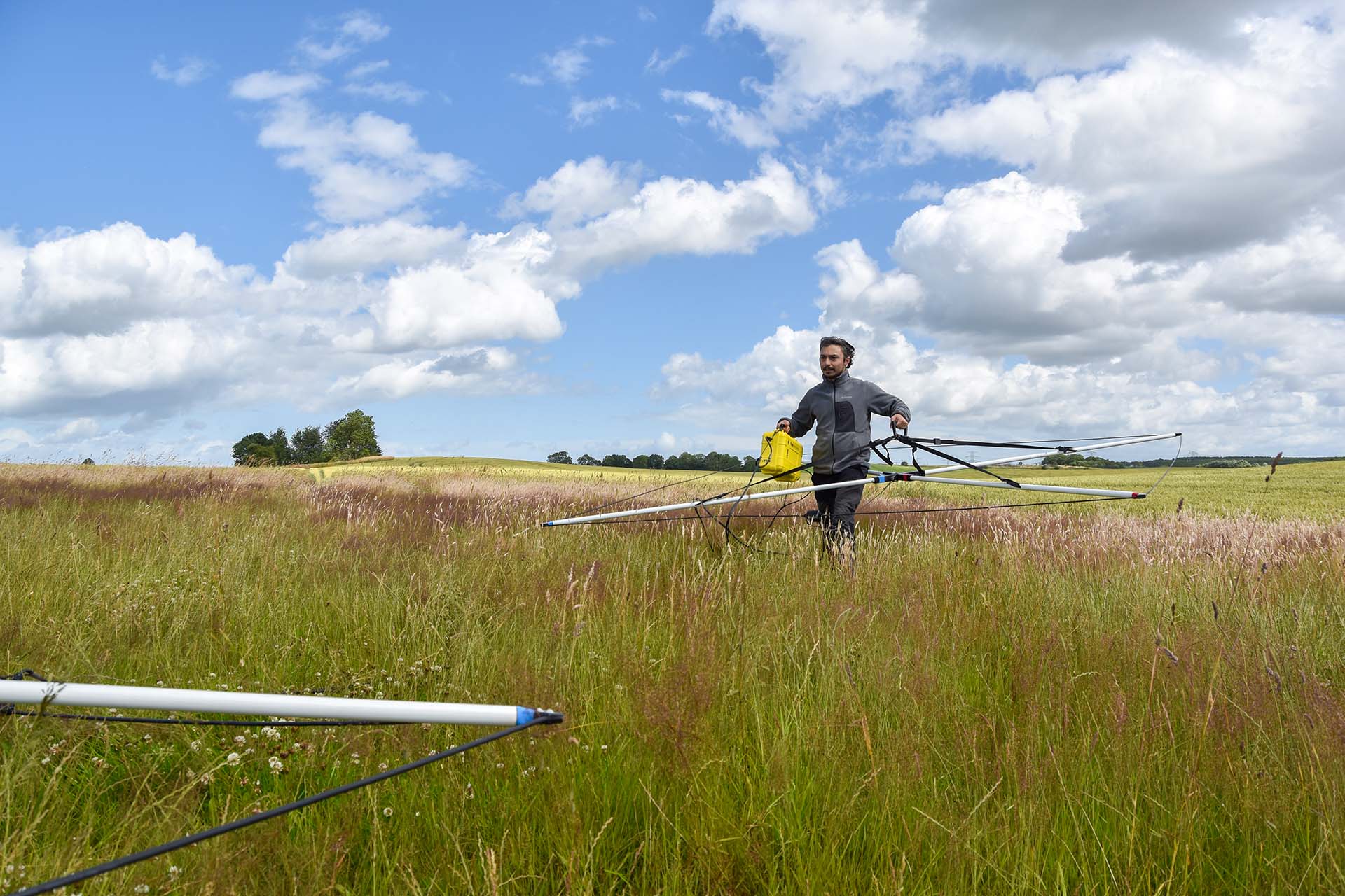
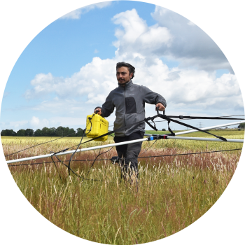
Built to travel, engineered to explore
TEMcompany’s geophysical scanners are built to meet the requirements of geophysics professionals. Engineered for portability, our geoscanners are compact, easily transported in rugged cases, and ready for deployment by air or land, on water, in deserts, and frozen landscapes. Our product line, including the sTEM, tTEM, and xTEM, offers specialized instruments for precise subsurface imaging, ideal for applications ranging from groundwater mapping to contamination assessment and raw material exploration.
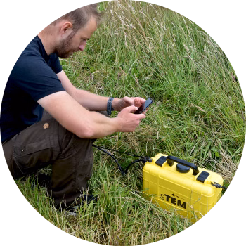
TEM geoscanners and mobile apps enable survey teams to work faster and more accurately, delivering high-resolution data to significant depths.
TEM geoscanners and mobile apps enable survey teams to work faster and more accurately, delivering high-resolution data to significant depths.
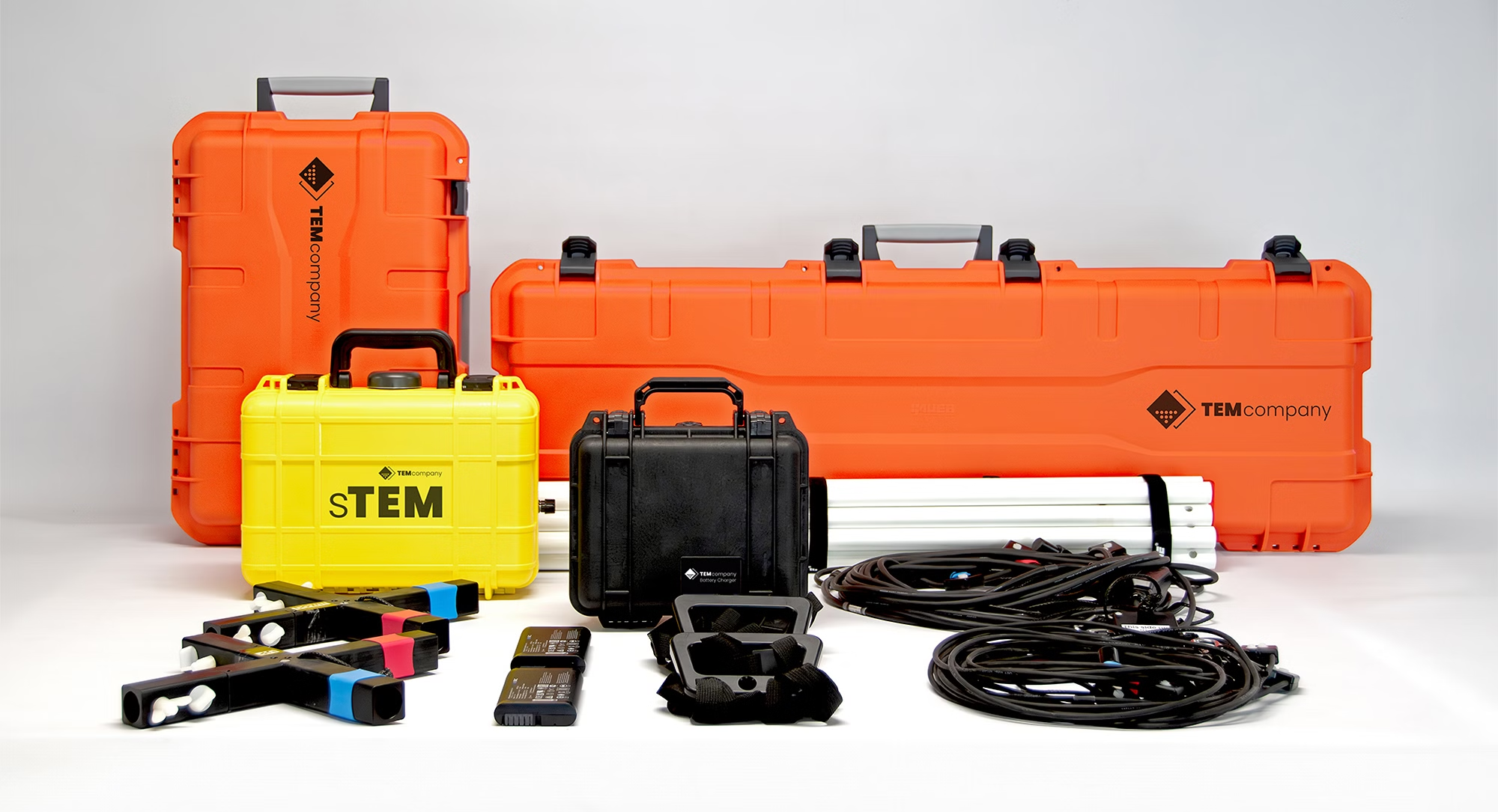
sTEM portfolio