Research Institute
Advanced geoscanners designed for researchers, and institutions seeking reliable subsurface insights.
Why research institutes choose TEM instruments
TEMcompany instruments help researchers collect accurate subsurface data to support programs and advance geophysical knowledge.
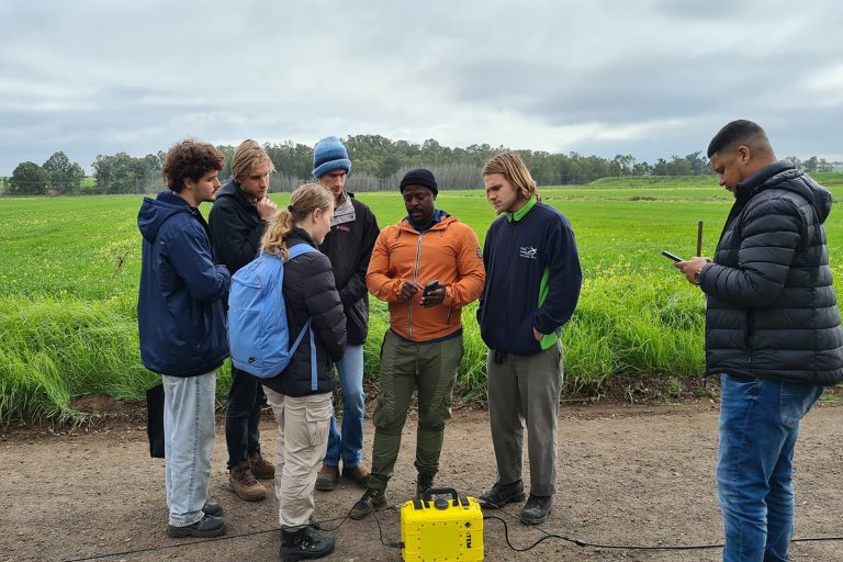
Research institutes and students need tools that are precise, reliable, and easy to use. TEMcompany’s geoscanners provide accurate subsurface data while remaining practical for hands-on training and fieldwork.
Our instruments allow researchers to collect high-quality, actionable subsurface data that can be analyzed, shared, and integrated with existing workflows. With open data formats and robust performance, they support both classroom learning and field studies without being overly complex or costly.
With our instruments, researchers can carry out studies with confidence, and students can gain meaningful experience while institutions produce credible, useful results.
Where our instruments support research institutes
TEMcompany instruments support you across a wide range of projects where understanding the ground matters most.
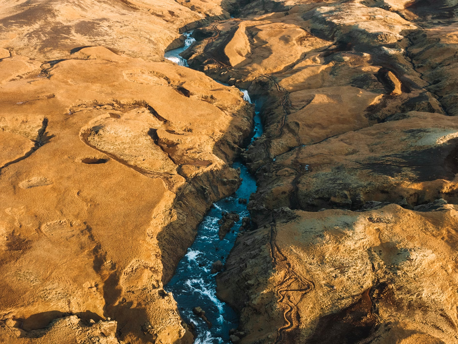
Hydrogeological surveys
Map subsurface structures and understand water distribution with precise, high-resolution data.
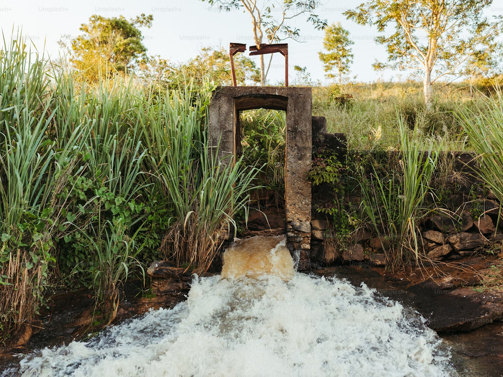
Groundwater surveys
Assess aquifer conditions and water availability to support sustainable resource management.
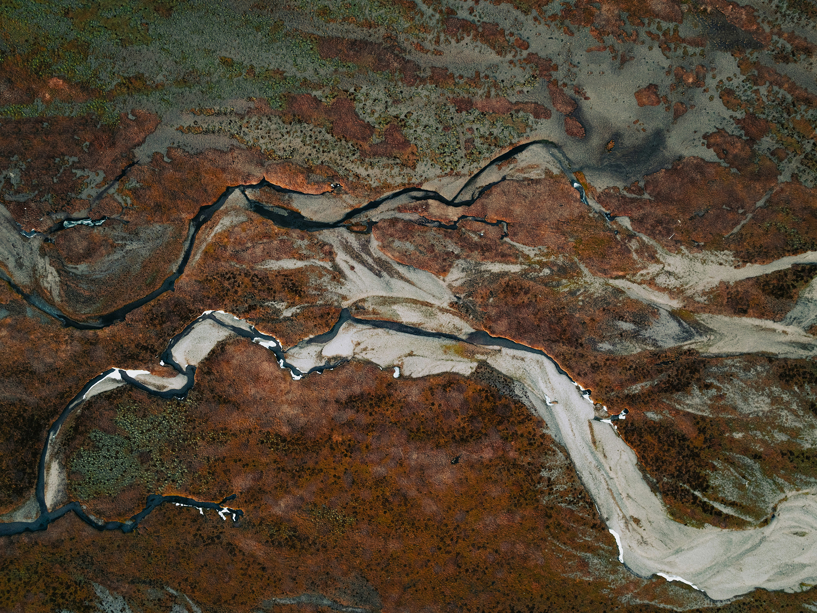
Freshwater studies
Investigate groundwater resources, rivers, and lakes to understand availability, quality, and sustainability of freshwater systems.
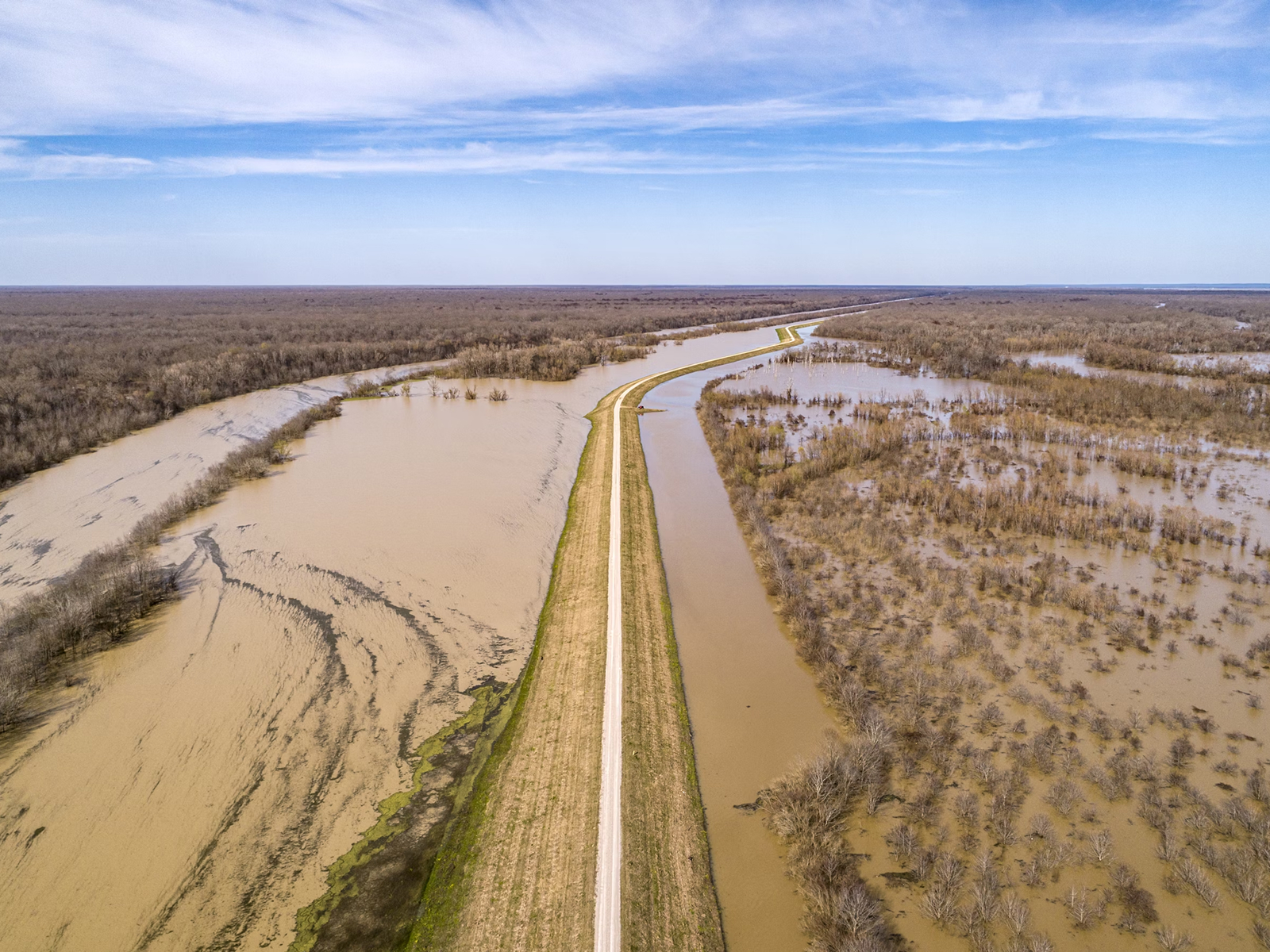
Dike & flood defenses
Analyze subsurface conditions to assess the stability and safety of dikes, levees, and flood protection infrastructure.