Permafrost Mapping
Understanding Permafrost
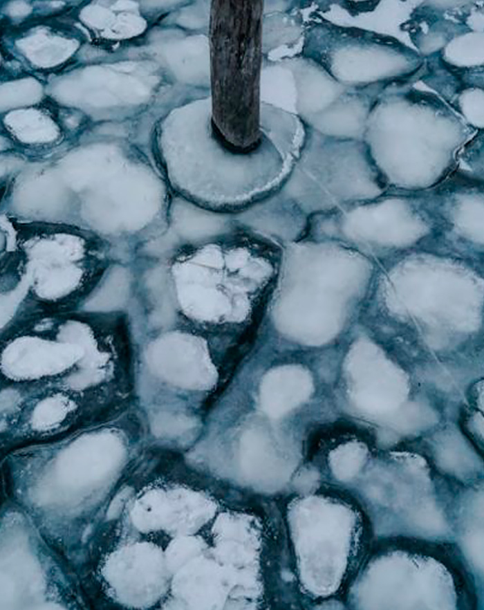
- Active layer: The surface layer that thaws during summer and refreezes in winter. This layer plays a crucial role in supporting vegetation and influencing local hydrology.
- Depth variability: Permafrost depth can range from a few meters to hundreds of meters, depending on regional climate and geological conditions.
- Accurately delineating permafrost boundaries and assessing its thickness, even in snow-covered areas.
- Detecting variations in ice content and identifying areas of thaw or refreeze.
- Providing critical data for infrastructure planning by identifying unstable permafrost zones.
TEM's role in Permafrost Mapping
Explore how our instruments enhance and support critical permafrost studies
Shallow Permafrost Detection
tTEM identifies resistivity contrasts between frozen and unfrozen ground, making it highly effective for mapping shallow permafrost layers and the active layer.
Large Area Surveys
With its ability to cover extensive areas quickly, tTEM is ideal for mapping large northern territories or assessing construction sites in cold climates.
Monitoring Permafrost Degradation
tTEM helps track permafrost thaw caused by climate change, identifying regions at risk of degradation that could affect infrastructure and ecosystems.
Deeper Permafrost Investigation
sTEM excels in detecting deeper permafrost zones, offering high-resolution data for areas where permafrost extends tens to hundreds of meters below the surface.
High Resolution Boundary Mapping
Perfect for delineating permafrost boundaries and thaw zones, especially for assessing risks to critical infrastructure like roads, pipelines, and buildings.
Detailed Subsurface Profiling
sTEM and tTEM can provide profiling of both the active layer and deeper permafrost zones, offering essential insights for evaluating stability in construction and development projects.