Mining Industry
Advanced geoscanners designed to deliver precise subsurface data for exploration, resource evaluation, and mine planning.
Why industry professionals choose TEM instruments
TEMcompany instruments provide reliable, non-invasive subsurface data to support efficient mining operations.
Mining companies need precise subsurface information to make efficient and cost-effective decisions. TEMcompany’s geoscanners provide high-resolution data that helps you understand geological formations, locate raw materials, and assess potential environmental risks.
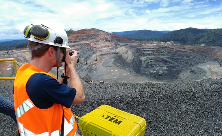
You get instruments built to perform in tough field conditions and adapt to mining applications. For projects requiring deeper exploration and high-resolution imaging, the xTEM system provides excellent depth penetration and detailed subsurface data, helping you locate mineral deposits, and evaluate environmental risks with confidence.
Mining companies need precise subsurface information to make efficient and cost-effective decisions. TEMcompany’s geoscanners provide high-resolution data that helps you understand geological formations, locate raw materials, and assess potential environmental risks.
You get instruments built to perform in tough field conditions and adapt to mining applications. For projects requiring deeper exploration and high-resolution imaging, the xTEM system provides excellent depth penetration and detailed subsurface data, helping you locate mineral deposits, and evaluate environmental risks with confidence.
Where our instruments support your projects
TEMcompany instruments support you across a wide range of projects where understanding the ground matters most.
Infrastructure planning
Evaluate subsurface conditions before developing roads or buildings, and support long-term reliability.
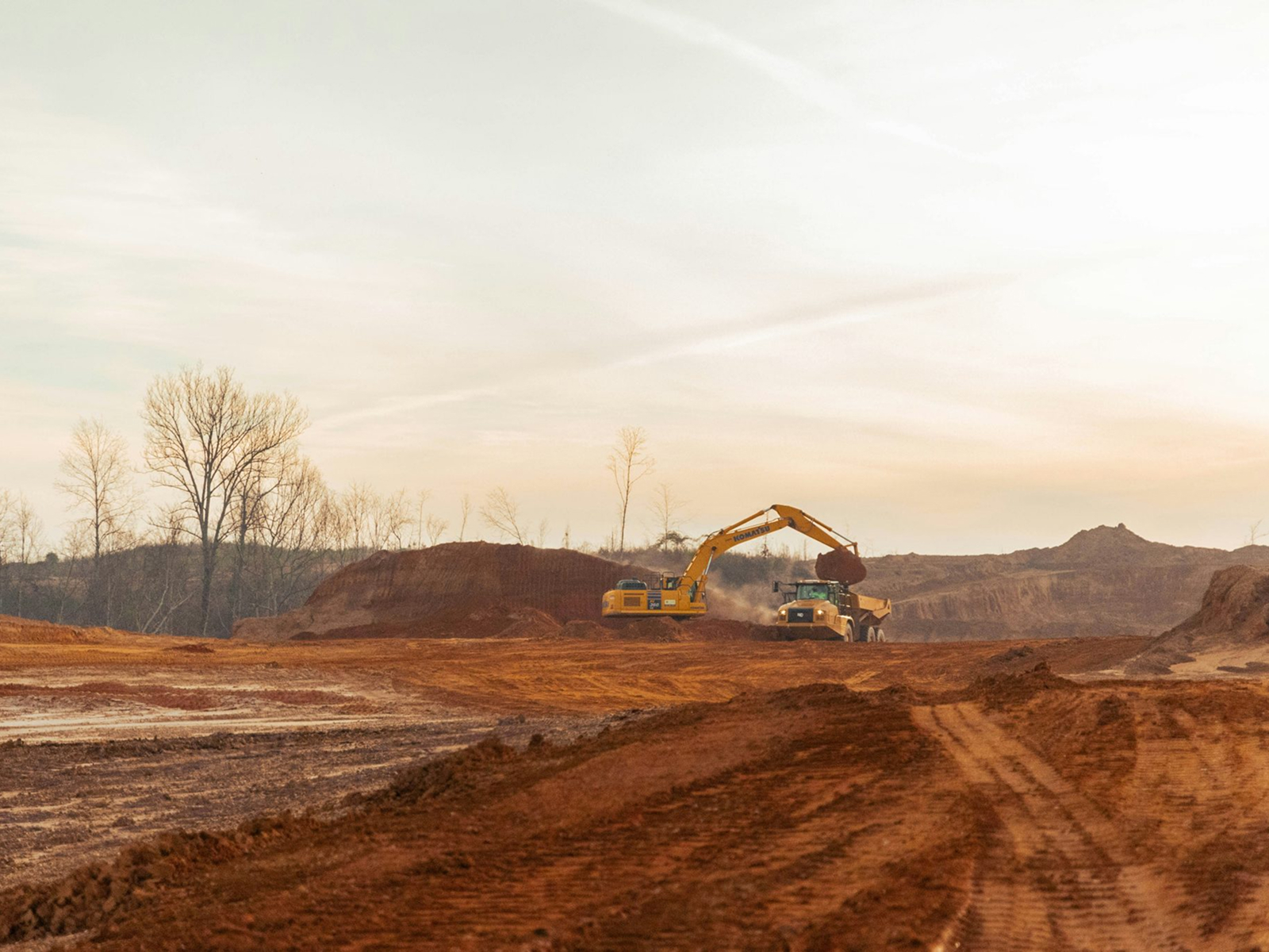
Mine Planning & Design
Use subsurface data to guide pit design, and infrastructure layout to help improve safety and reduce operational uncertainty.
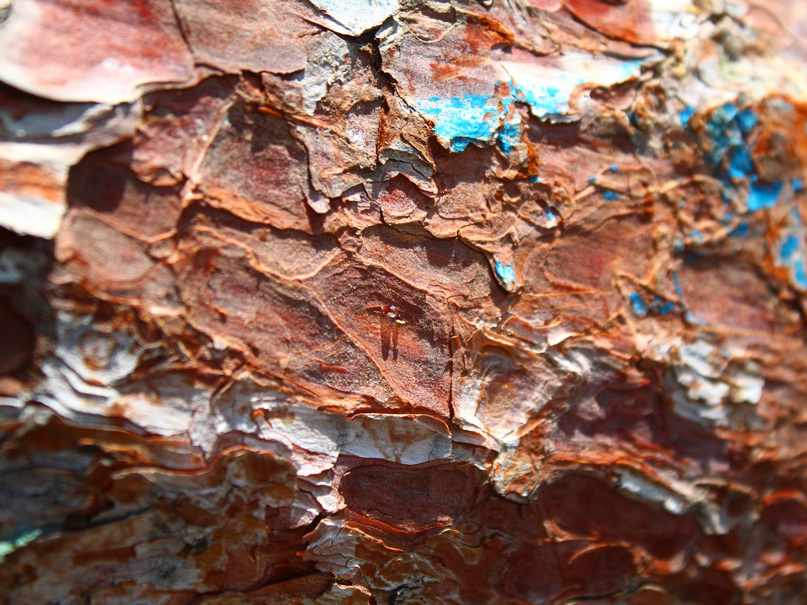
Raw material exploration
Map subsurface layers to locate and evaluate potential mineral or raw material deposits efficiently and accurately.
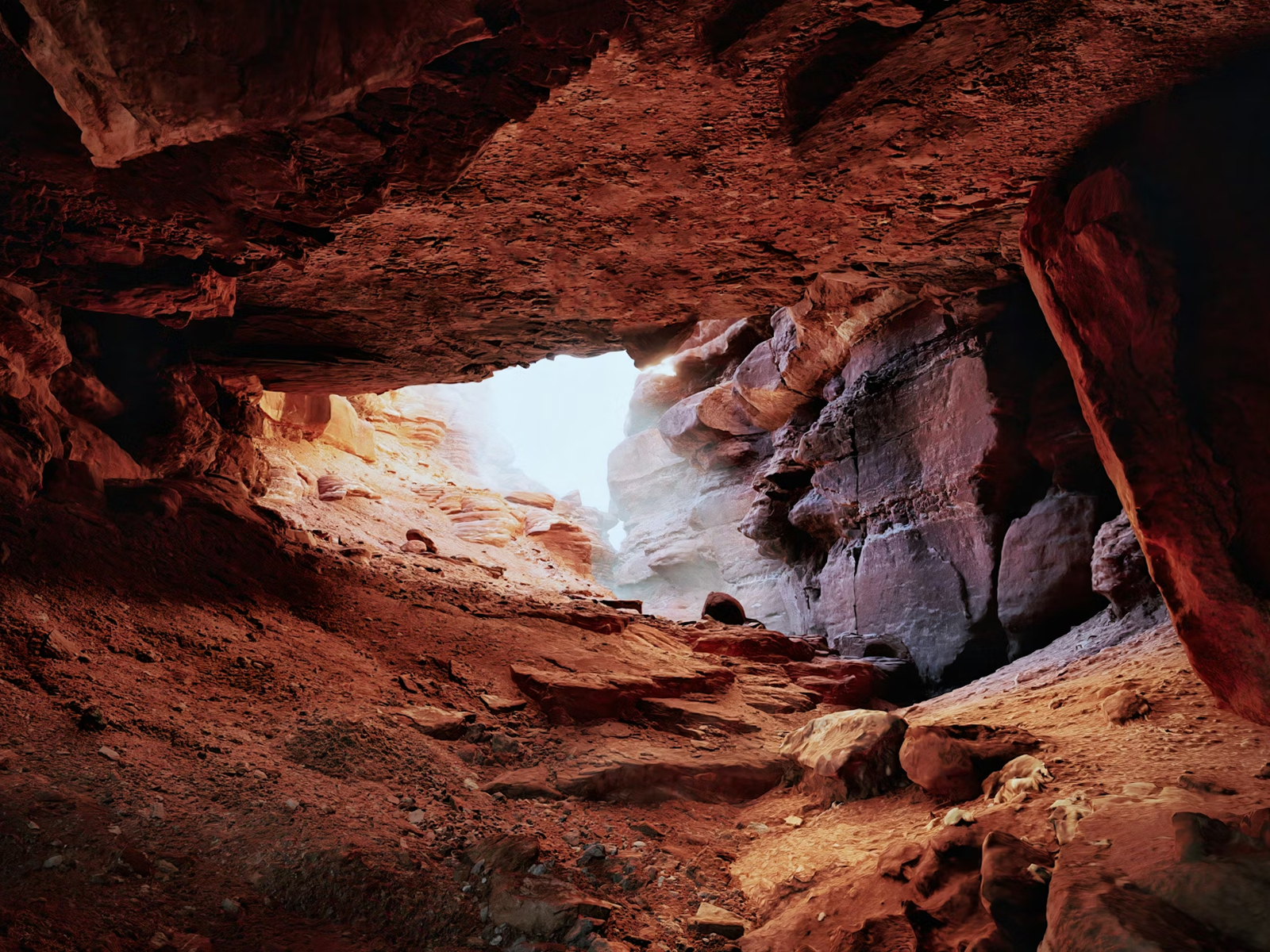
Fracture Zone Detection
Detect faults or fractured rock systems that could lead to water inflow, instability, or mineral pathways.