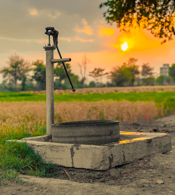
Groundwater Mapping
Understanding groundwater mapping
- Aquifers: Subsurface layers that store and transmit water.
- Water-bearing formations: Rock or soil layers that hold groundwater.
- Flow pathways: Routes that groundwater takes below the surface.
- Measuring variations in ground properties like resistivity, which change with water presence and saturation.
- Using advanced tools like tTEM to create high-resolution subsurface maps, enabling the identification of potential groundwater aquifers.
TEM's role in groundwater maping
Shallow Groundwater Exploration
tTEM is designed to detect shallow groundwater and aquifers, identifying water-saturated zones and distinguishing them from dry areas.
Non-Invasive & Fast
Unlike drilling, tTEM is non-invasive and covers large areas quickly, making it a cost-effective and efficient tool for initial groundwater mapping.
High Resolution Mapping
It creates detailed maps of groundwater features like fractures, porous zones, and aquifers, essential for exploration and management.
Adaptive to various Terrain
tTEM can be used across many terrains, from flat land to rugged areas, with minimal environmental impact.
Principle of Operation
sTEM uses time-domain electromagnetic (TEM) signals, sending out a current pulse and measuring how long it takes for the signal to return after interacting with subsurface materials. The resistivity varies based on water content—water-rich zones have lower resistivity, helping identify aquifers and water-bearing fractures.
Deep Penetration
sTEM provides deep subsurface penetration, ideal for investigating groundwater systems or aquifers located hundreds of meters below the surface.
Targeting Deep Aquifers & Water Zones
Stationary sTEM surveys allow for detailed analysis of specific groundwater layers and deep aquifers, where tTEM may be less effective.
Realtime Data Collection
Data is processed in real time, mapping the resistivity profile of the subsurface and identifying groundwater boundaries, flow characteristics, and water quality. This is useful for assessing resources, planning well installation, or detecting saltwater intrusion.