Managed Aquifer Recharge
Understanding Managed Aquifer Recharge
- Infiltration basins: Spreading water over permeable surfaces to allow natural infiltration.
- Injection wells: Directly injecting water into aquifers.
- Natural recharge processes: Leveraging existing hydrological pathways.
- Identifying optimal recharge zones: Providing high-resolution subsurface data to locate areas with suitable permeability and capacity.
- Monitoring recharge effectiveness: Tracking water movement and infiltration rates to ensure efficient recharge.
- Blending engineering solutions with natural processes.
- Efficiently utilizing available water resources.
- Supporting the long-term stability of water supplies for communities, industries, and ecosystems.
TEMcompany's role in MAR solutions
Shallow Aquifer Mapping
tTEM is ideal for mapping shallow aquifers and identifying areas suitable for MAR. It helps assess the extent of the aquifer and spots locations for effective groundwater recharge.
Determining Subsurface Properties
By identifying resistivity variations, tTEM provides valuable information about the composition of the material in the subsurface – key factors for designing MAR systems. It helps locate high-permeability zones for recharge well placement.
Floodplain and Riverbed Assessments
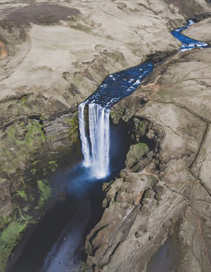
In areas where surface water is used for MAR, tTEM can map the interaction between surface water and groundwater, identifying optimal recharge locations in floodplains.
Monitoring Recharge Sites
tTEM is useful for ongoing monitoring of MAR sites, tracking water movement and ensuring efficient infiltration into the aquifer.
Deeper Aquifer Investigation
For deeper aquifers, sTEM can map the depth and extent of aquifers, providing detailed data for MAR projects needing to recharge deeper systems.
High-Resolution Subsurface Profiling
sTEM provides high-resolution data, helping to identify resistivity differences and specific recharge zones, crucial for designing complex recharge systems in heterogeneous aquifers.
Assessing Recharge Efficiency
sTEM can map the composition of the materials within the subsurface to help optimize recharge strategies by identifying zones with better infiltration rates.
Assessing Salinity or Contamination Risk
sTEM can detect resistivity variations caused by contamination or saltwater intrusion, helping to assess risks and ensure MAR does not compromise water quality.