Governmental Organizations
Reliable subsurface data solutions for public-sector projects focused on sustainability, safety, and resource management.
Why Govt organizations choose TEM instruments

TEMcompany instruments help government organizations make informed decisions through accurate, dependable subsurface measurements.
Governmental organizations have important responsibilities, from managing groundwater resources and planning infrastructure to ensuring sufficient resources. TEMcompany’s geoscanners provide clear, accurate subsurface data to help them make confident, evidence-based decisions.
Our instruments support a wide range of public-sector needs, including groundwater mapping, site assessments, and environmental monitoring. With efficient data collection, robust performance, and open data formats, they make it easier to plan responsibly, and monitor sustainably.
With TEMcompany, governmental organizations can base their projects on data they can trust, for the benefit of public and the environment.
Where our instruments support Govt projects
TEMcompany instruments support public sector across a wide range of projects where understanding the ground matters most.
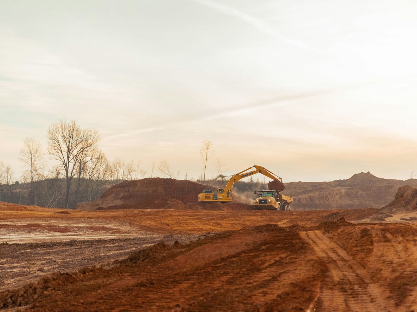
Infrastructure planning
Assess & evaluate subsurface conditions before developing roads or buildings to ensure stability, minimize construction risks.
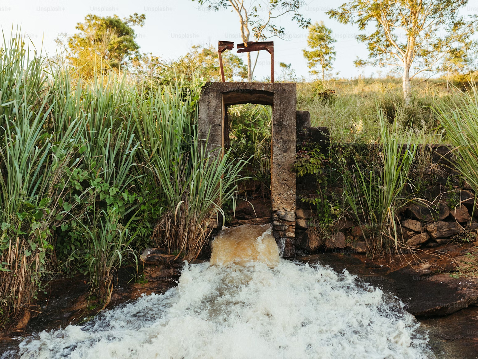
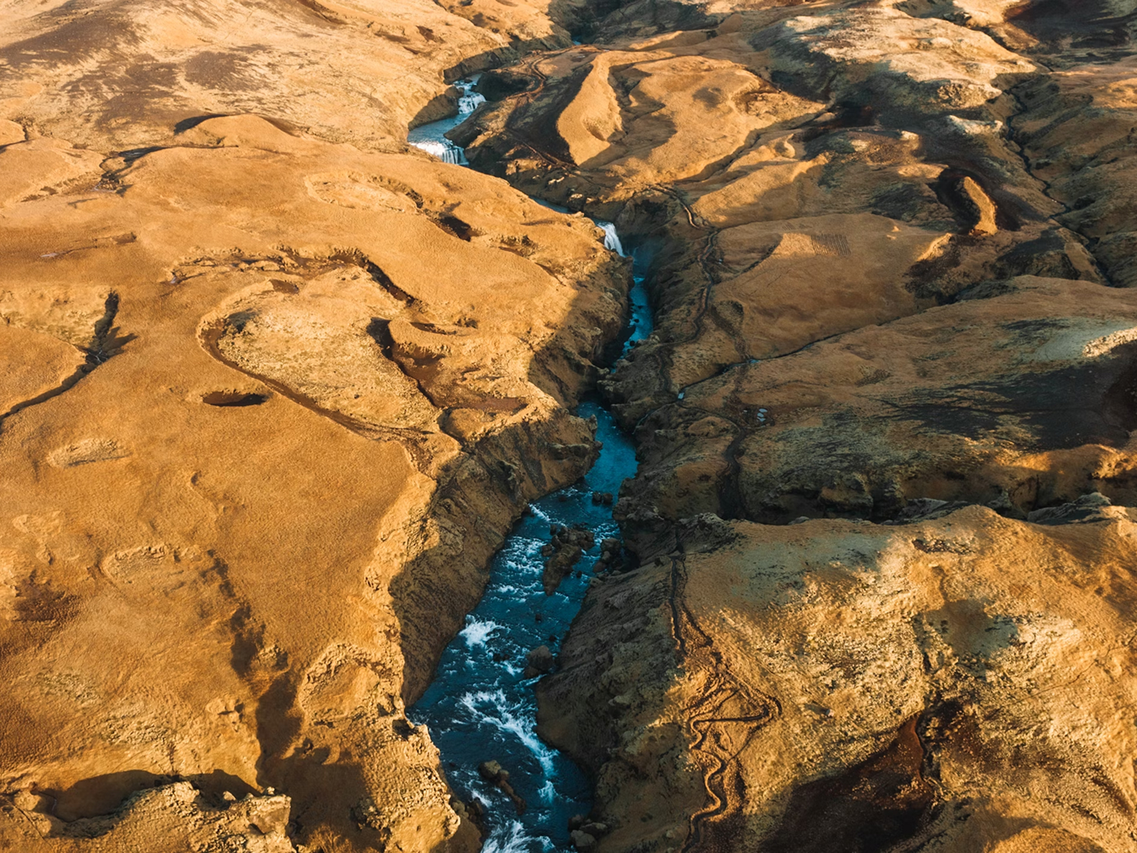
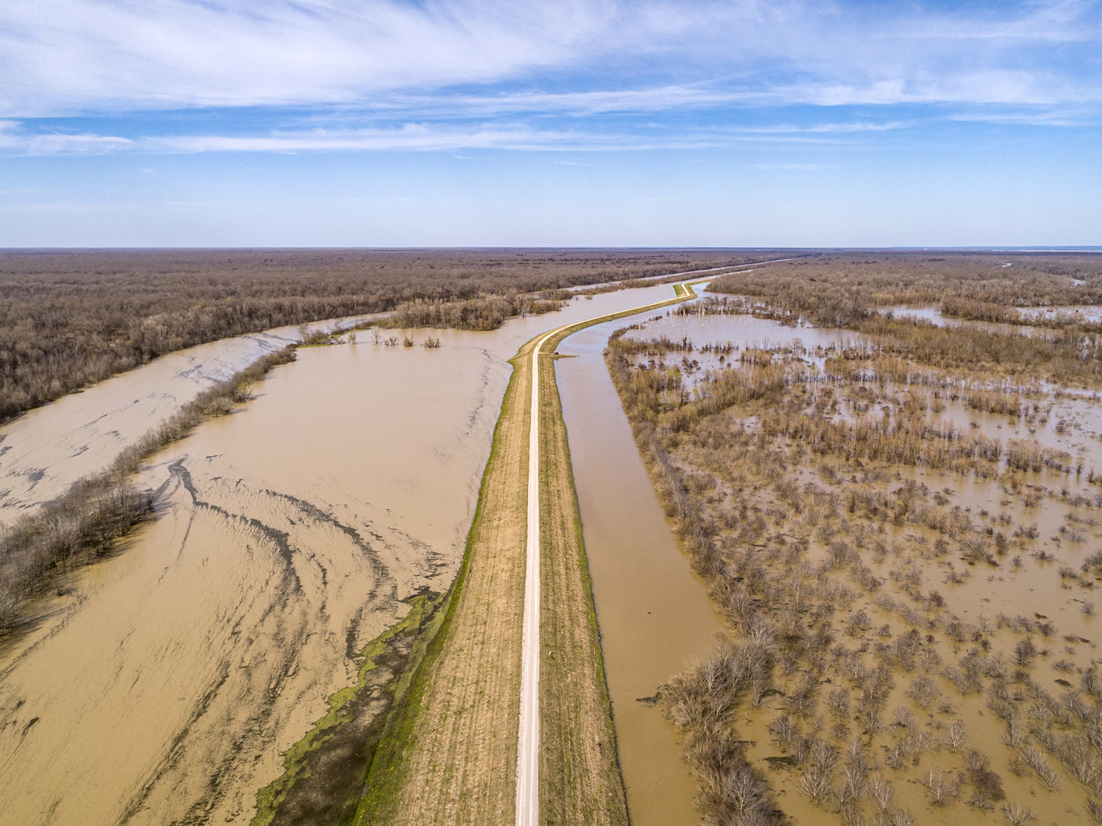
Groundwater surveys
Assess aquifer conditions & water availability to support sustainable resource management & long-term monitoring.
Raw material exploration
Map subsurface layers to locate and evaluate potential mineral or raw material deposits efficiently and accurately.
Contamination mapping
Identify and monitor zones affected by contamination to support environmental assessments and remediation planning.