Exploring Rivers
Understanding river systems
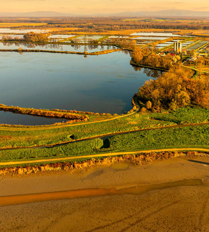
River system exploration involves studying rivers and their surrounding environments to understand their dynamics and interactions with the land. This includes:
- Subsurface structure analysis: Mapping beneath and around the riverbed to identify geological formations.
- Groundwater and surface water connections: Understanding how these systems interact within river basins.
- River changes and sediment buildup: Tracking shifts in the river’s path, sediment deposition, and links to underground aquifers.
- Providing high-resolution imaging of subsurface features beneath rivers.
- Identifying pathways for water exchange between rivers and aquifers.
- Supporting environmental assessments and resource management by offering actionable insights into river dynamics.
How FloaTEM supports river exploration surveys
Shallow Subsurface Mapping
Ideal for studying sediments under the riverbed, shallow aquifers, and water-saturated zones in floodplains.
Quick, Large-Area Surveys
Its towed design makes it perfect for covering long stretches of riverbanks and floodplains efficiently.
Recharge & Discharge Zones
Helps locate areas where rivers recharge groundwater or receive inflows from aquifers.
Riverbed Permeability
Identifies permeable sediments beneath the river that affect water exchange between the river and aquifers.
Deeper Investigations
Identifies permeable sediments beneath the river that affect water exchange between the river and aquifers.
Structural Insights
Maps features like faults or fractures that affect groundwater-river interactions at greater depths.
Understanding River Morphology
Penetrates deep to uncover old channels and sedimentary deposits shaping the current river system.