Characterizing Rivers and Estuaries in the United States
Hydrogeology below large surface water features
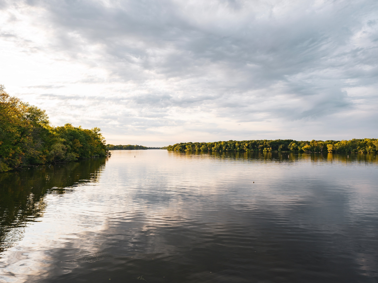
The U.S. Geological Survey and the HydroGeophysics Group, Aarhus University, describe the benefits of using floaTEM in rivers. USGS has been utilizing the floaTEM in several places, such as the Tallahatchie River, Eel River, Delaware River, and Rainbow Reservoir. Data was collected to achieve high-resolution information about subsurface geologic structures that can be used to delineate fresh-water/saline water contacts, delineate aquifer materials for water-resource investigations, and inform hydrogeologic models.
Project Background
USGS and the HydroGeophysics Group, Aarhus University explored the possibility for using FloaTEM to characterize hydrogeology underlying Rivers and Estuaries.
The hydrogeology below large surface water features such as rivers, lakes and estuaries is universally under-informed at the reach to basin scales (tens of km+). This challenge inhibits accurate hydrological modeling, for example of the fresh/saline groundwater interfaces and groundwater/surface water exchange patterns, at sufficient spatial extents.
Here, we present a towed, floating transient electromagnetic system (FloaTEM) for rapid, high resolution electrical mapping of the subsurface below large water bodies to depths greater than other towed instruments.
Results
The novel FloaTEM system was first demonstrated at sites across the United States including 1) the Farmington River, near Hartford, Connecticut; 2) the Upper Delaware River near Barryville, New York; 3) the Tallahatchie River near Shellmound, Mississippi; and, 4) the Eel River estuary, on Cape Cod, near Falmouth, Massachusetts.
Airborne frequency-domain electromagnetic and land-based towed TEM data is also compared at the Tallahatchie River site, and a range of geologic structures and pore water salinity interfaces were identified. Process-based interpretation of the case study data indicated FloaTEM can resolve varied sediment-water interface materials, such as the accumulation of fines at the bottom of a reservoir and permeable sand/gravel riverbed sediments that focus groundwater discharge.
Bedrock layers were mapped at several sites, and aquifer confining units were defined at comparable resolution to airborne methods. Terrestrial fresh groundwater discharge with flowpaths extending hundreds of meters from shore was also imaged below the Eel River estuary, improving on previous hydrogeological characterizations of that nutrientrich coastal exchange zone. In summary, the novel FloaTEM system fills a critical gap in our ability to characterize the hydrogeology below surface water features and will support more accurate prediction of groundwater/surface water exchange dynamics and fresh-saline groundwater interfaces.